This weekend, the Saturday weather was looking like spring, and Claire said she was planning a trip to MSH (Mount Saint Helens) on Thursday[1]. Ariana graciously trusted us with her vehicle, although she had too many great St. Patrick's day events Friday night to wake up early Saturday. Plus, since Mt. Saint Helens is far from Seattle (~3.5 hours away), it usually makes sense to camp at the base and leave the day before.[2] We set off from Seattle at 6:30pm on Friday, after work.
Phase 1: Approach, Route Selection, Route conditions.
The winter route of Mt. Saint Helens is called the
"Worm Flows Route". In theory, this is a ~11 mile, ~6k vertical foot route. But before we get to the climbing route, we have to handle the driving route! Specifically, there were posts online stating that FS-83 had not been plowed, since they ran out of money in the WA state snopark fund this year. So rather than push our luck with a road that got the ranger's 4x4 stuck, we decided to park 3 miles away from the trailhead at the 'Cougar Sno-Park'.[3] Unassisted, this would turn the ~11 mile route to a ~17 mile route with 6.7k vertical feet.
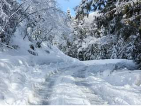
The infamous FS 83 (ranger photo)
While avalanche conditions were generally solid (2 out of 5), Chris gave us a call while we were driving south, and told us that Saturday morning is fine, but Saturday afternoon the snow will get hit by the hottest day so far this year and could slide. The avalanche rating was upgraded to 3/5 at that time, after we left the house. He said go for it, but ski down at noon before it bakes in the afternoon sun. So, instead of camping until 5:30am... the alarm was set for 1:10am. We arrived at the Cougar Sno-Park at 11pm, we shoveled out a campsite, set up a tent, and slept at 11:45pm. BEEP BEEP. 1:10am time to climb! I packed up the tent, and we were off at 1:50am, hiking up FS-83.
We got about 0.7 miles & 300 vert up before we were passed by 2 cars at ~2am, and the second one offered us a ride in a off-road capable Jeep Cherokee! Not believing our luck, we jumped in and met Brandon, an old school trad climber who climbed El-Cap in 1980's, as well as all of the Colorado 14'ers. He just moved to WA and wants to climb all the WA mountains. He drove about 2 miles of the 3 miles, before he stuck in traffic behind snow-stuck cars. Claire and I jumped out with our avi shovels, and tried pushing & shoveling them out, but after 15 minutes of shoveling it was clear that multiple cars were jammed and the road ahead was even worse, so we decided to hop out and proceed on foot/ski. Brandon said he was going to reverse 100 yards to a good parking spot, then head up on snowshoes and 'catch us on the way up (or down)'. Off we went at 2:30am.
Phase 2: The Climb
After skiing up another half-mile up FS-83, we got the the trailhead, and self-issued our free winter MSH permits at the register by 3am. After ascending a winter XC track for 3 miles, the first destination of interest is Chocolate Falls, a ~60 ft waterfall. We cautiously traversed around the waterfall and continued up the mountain under the stars. By the time it was light out, we were ~halfway up.
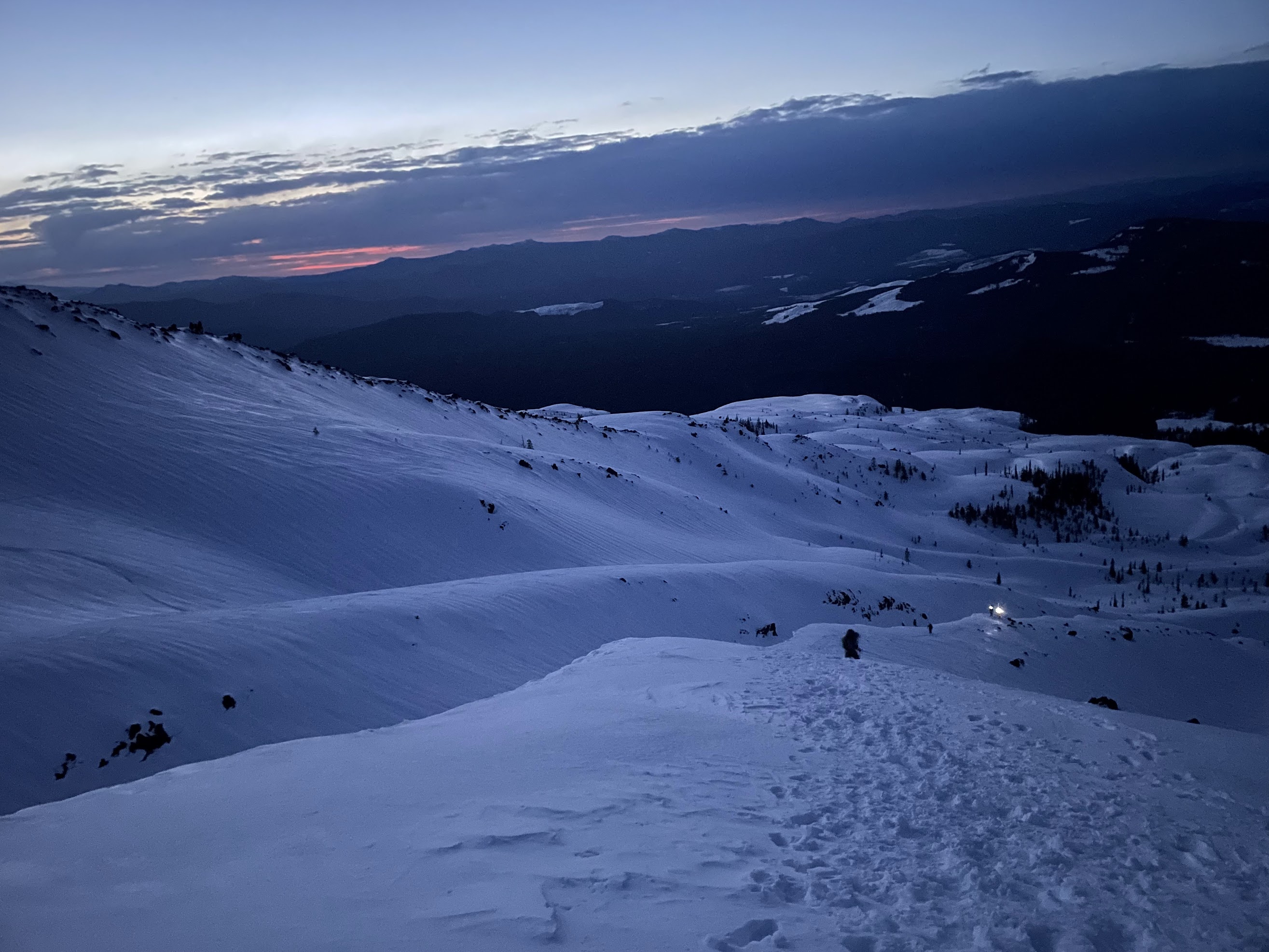
There is some trickyness uphill skiing on this slope. Uphill skis can switchback their way up ~35 degree soft snow, but before sunrise it's usually ice.
Ice does not work for uphill skiing, and the mechanisms to make it work (ski-crampons) are very annoying and slow.
Skis & ski poles tend to be a bit worse than an ice axe & crampons on steep-to-me icy slopes, especially on the way up.
Claire easily cruised up the icy 30 degree ridge with her 'trail crampons' and downhill snowboard, then took photos while I was struggling with the skis.
At this point Brandon caught up to us, first with snowshoes and then with mountaineering boots.
The angle mellowed out, and my uphill skiing efficiency returned to normal.
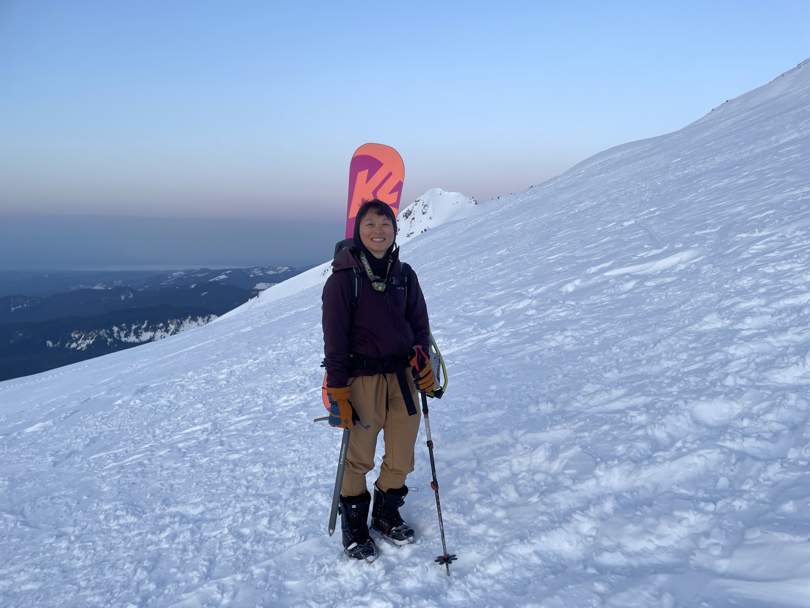
Claire w/ Mt. Adams in the background, to the east
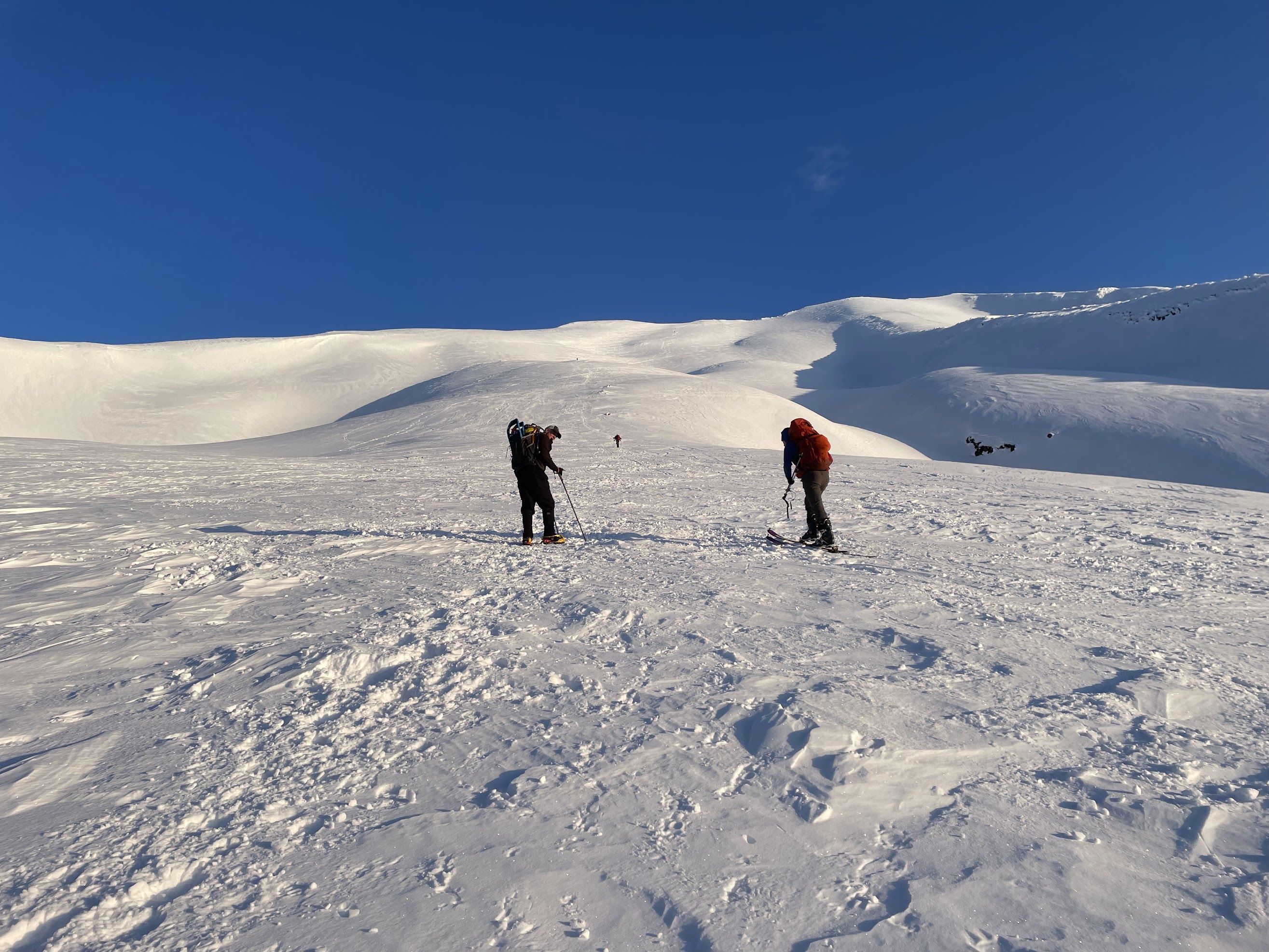
Peter and Brandon ascending (eventually, Brandon told us to head on ahead, he was going to rest a while)
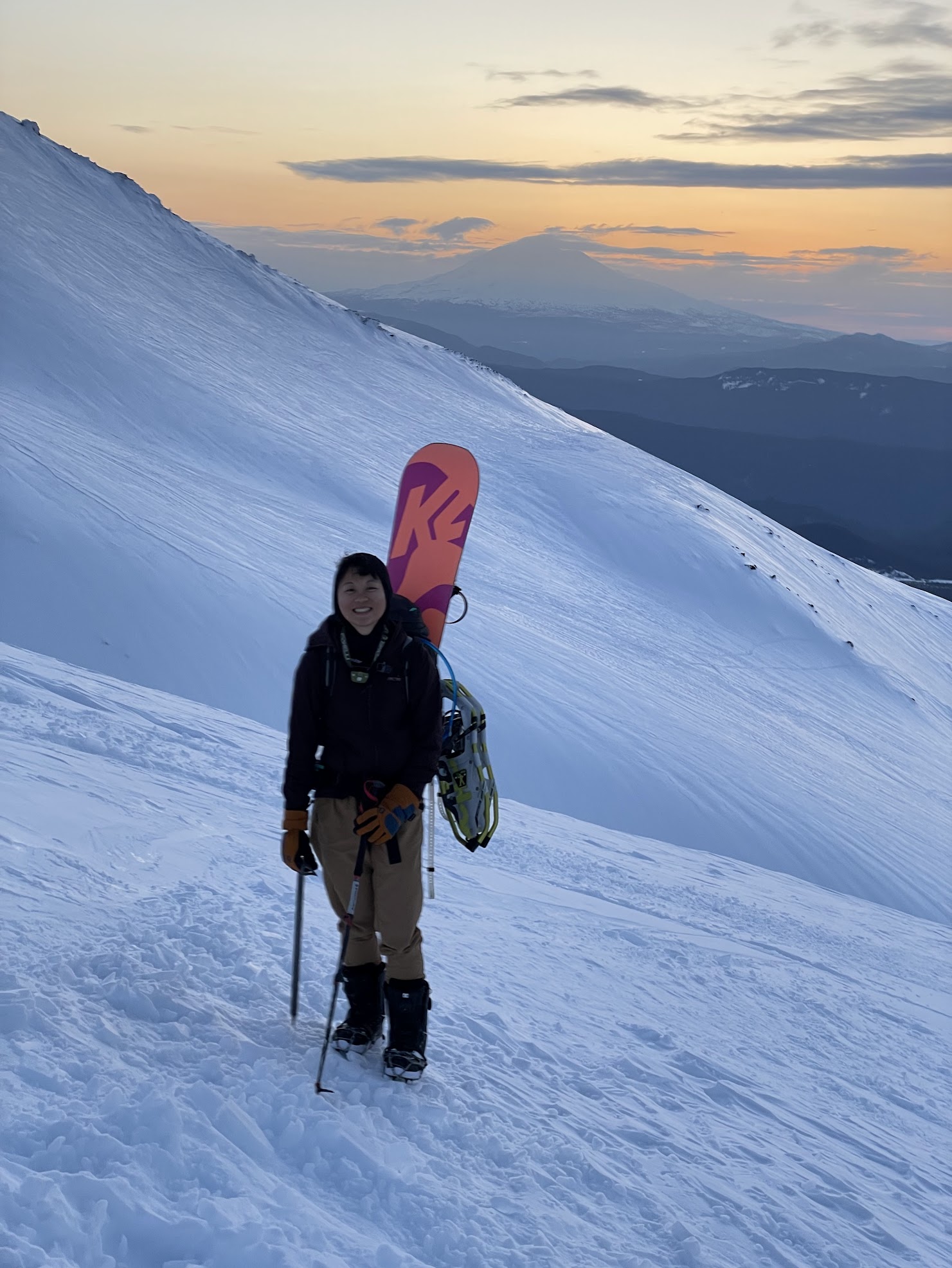
Claire's ascent to the rim.
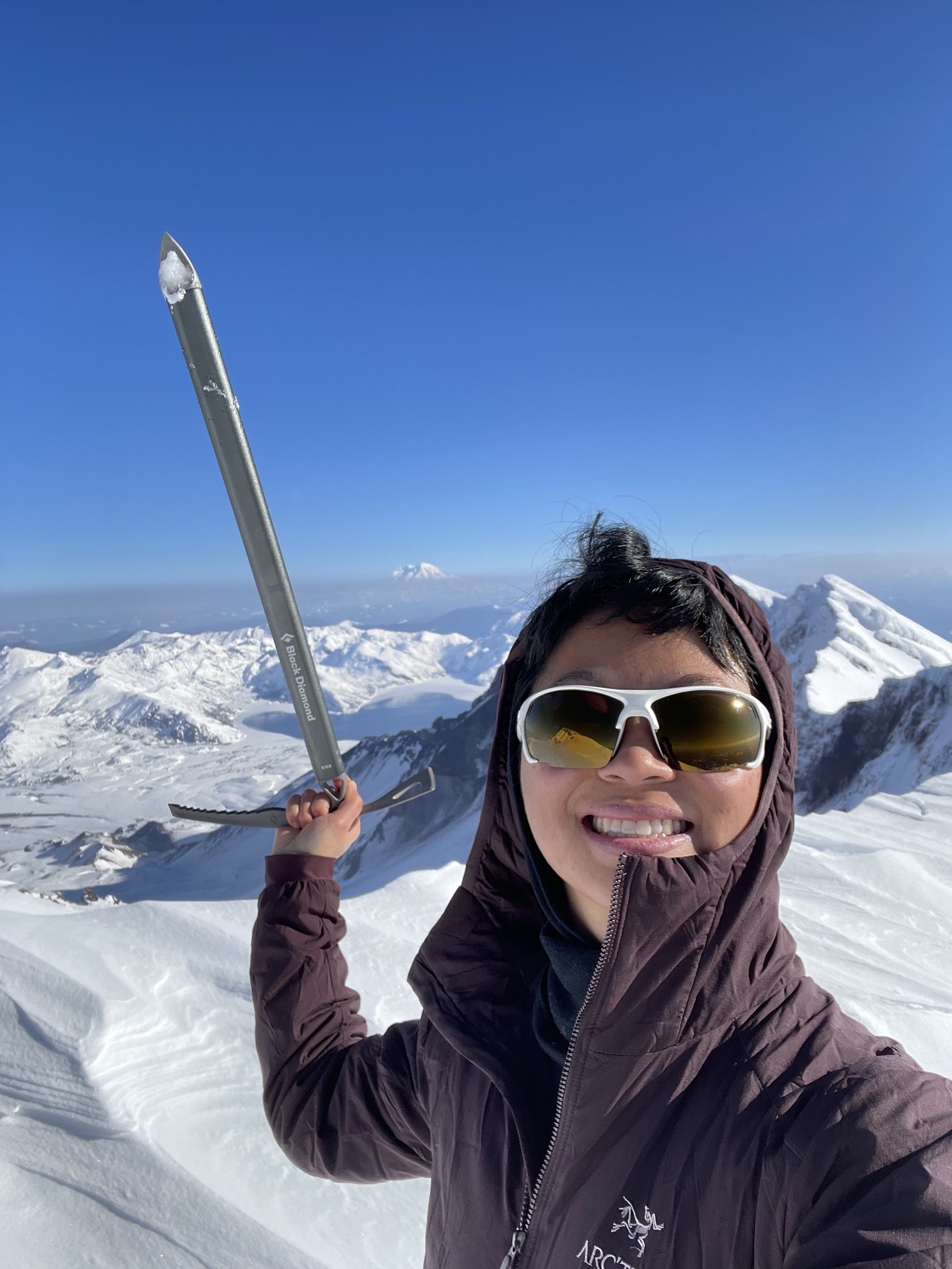
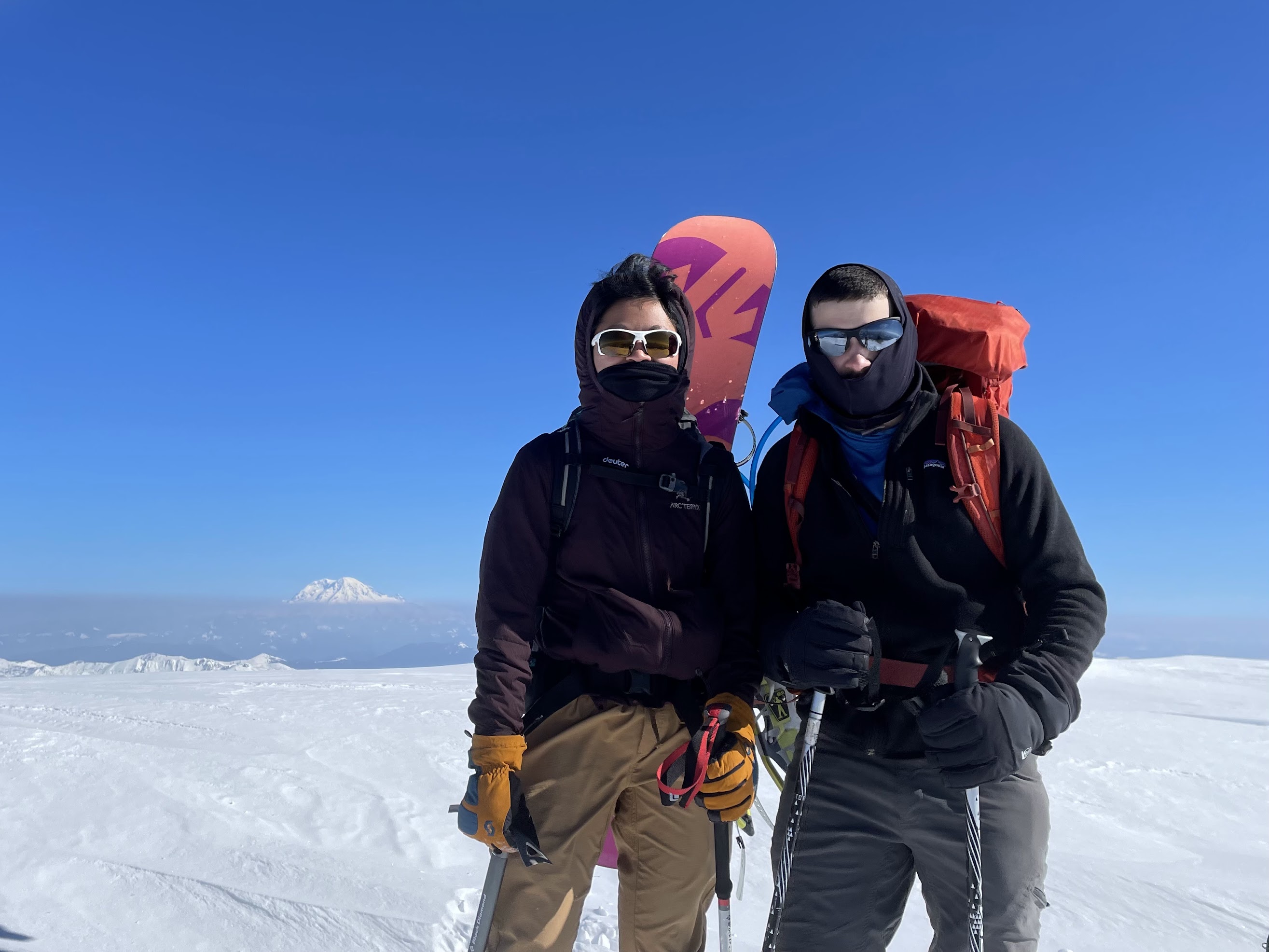
Claire triumphantly waves around an ice axe on the Mount Saint Helens crater rim
After Claire got to the crater rim at around ~9:50am (I was a bit slower at 10:10am and took a more diagonal route towards the summit), we traversed along the crater rim towards the summit. The summit is about a half-mile to the side of the main climbing route.
While traversing, I ran into some nasty -35 degree ice that my skis can not handle in uphill mode. It was too steep for me to switch ski-mode easily.
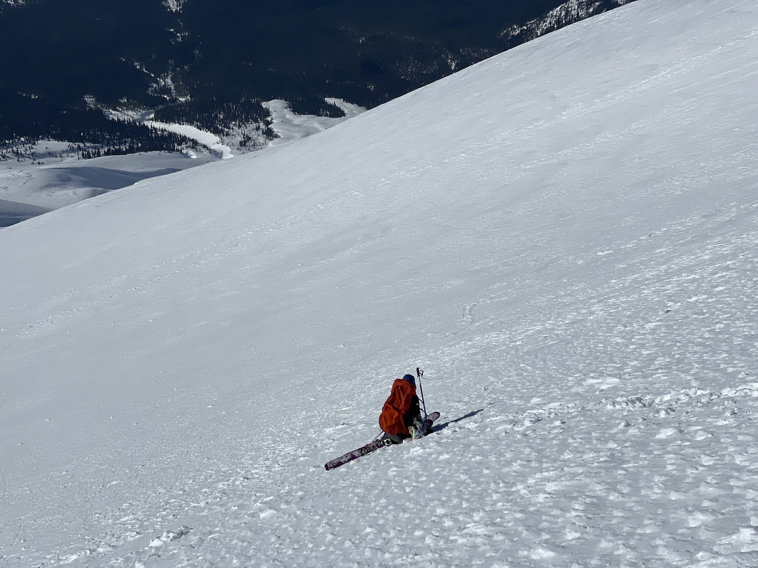
Somewhat embarrassingly, it became clear the best route forward was to sit down and butt-slide sideways down the 35 degree ice to the 25 degree snow-slope 50 feet below, then ditch my skis and climb to the summit.
I _very_ slowly slid down, 6 inches at a time, using ski poles to stab through the ice.
On the summit, with Rainier in the background. ~11am or so.
As we descended from the summit, we saw Brandon a third time, now tagging Mount Saint Helens summit on his second attempt (first attempt stymied by a storm a week before). He doesn't ski or snowboard, so we bid our new friend farewell and strapped in for the downhill.
Phase 3: Dropping!
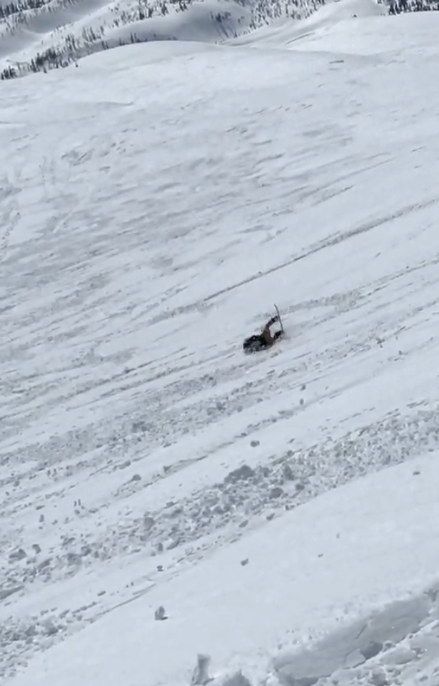
https://photos.app.goo.gl/eDj1TRjuayyjhFbp8 (Claire snowboards down, small spill at the end)
 https://photos.app.goo.gl/NWVE1moZWHS55uu77
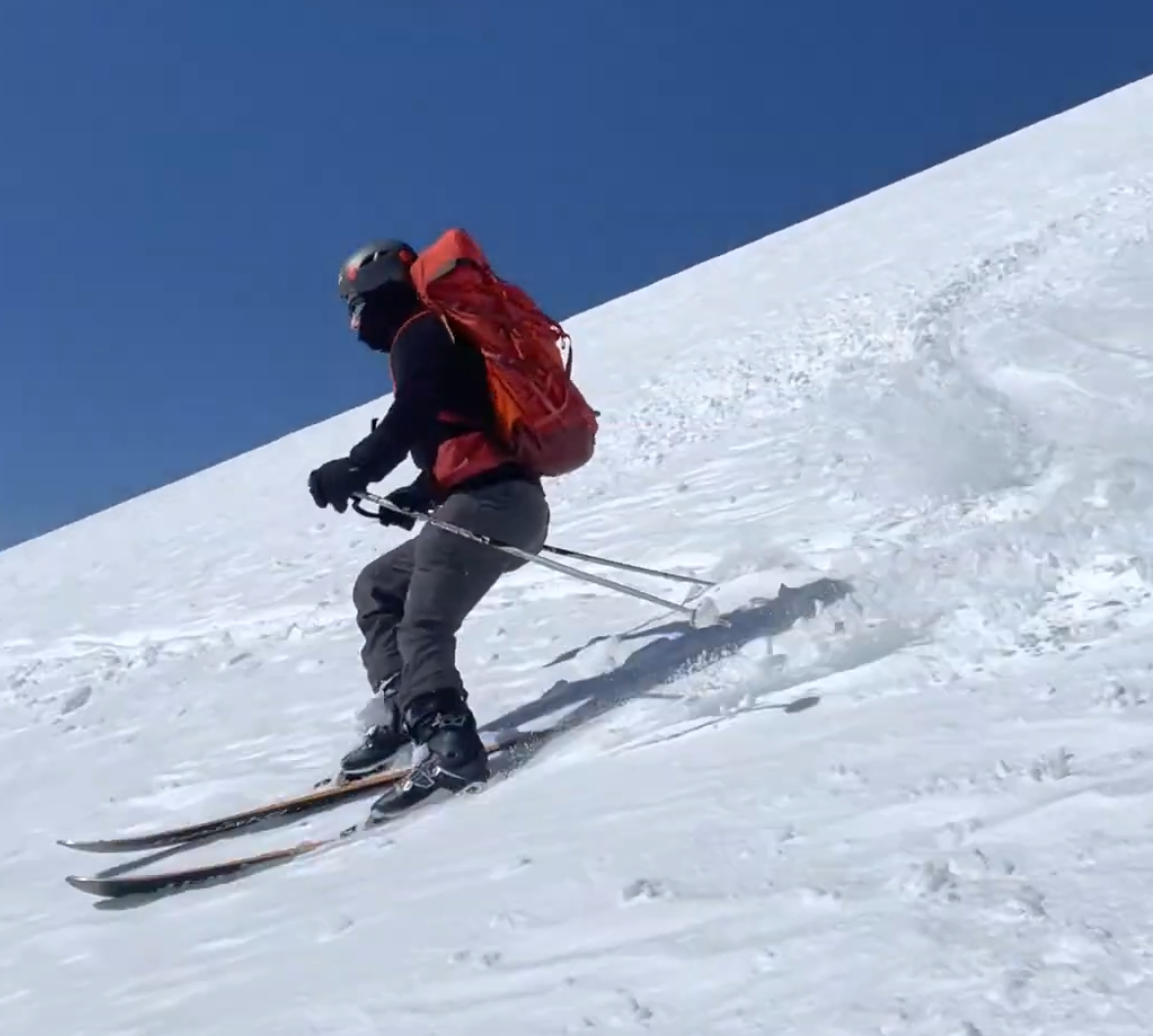
 - Peter cautiously skis down
https://photos.app.goo.gl/D2kkhqB3dB5sRvqk6
On our way down at noon, we saw hundreds and hundreds of people heading up the route. It turns out the road (NF-83) had melted out that morning. Near chocolate falls, the snow had softened, and Claire put her foot about 2.5 ft into a tree-well, and it was stuck in. Not wanting to lose the snowboard boot, I got out the shovel and started shoveling, and within 3 minutes or so it was out.
Below the treeline, skiing down the blue XC tree-route was a blast. We ski'd and snowboarded around pedestrians/snowshoers cautiously and made it back to the parking lot (with Claire occasionally getting stuck on a flat spot, as snowboarders do). Same as before, about 3-4 cars drove past when Jon rolled down the window and offered us a ride down the next 2 miles of road, which we accepted. Jon is based out of Portland, and ski'd the rim and back starting at 7:30am. We grabbed lunch at Cougar Bar & Grill [a mount-saint-helens themed restaurant] before heading back north.
All in all a great adventure with a ton of great folks on the mountain![4]
-Peter
[1] While it seems like late notice, this is unfortunately how the winter hiking goes. The forecasts are not accurate until ~2 days before, and the weather is bad 70% of the time. So we don't make plans until Thursday, or we make a flexible plan.
[2] In July, sometimes people drive there and back the same day, with the 16 hour days, usually switching drivers on the way back. It's usually more fun to camp.
[3] Also, since there's no turn around for 3 miles on that road, a single person getting stuck blocks the road in both directions, and it's rude to take a 2WD sedan with all-seasons on such a road. However, folks who have 4x4 that can handle it greatly appreciate people not getting stuck on the road and blocking them, so often it's possible to hitch-a-ride the last few miles into sno-parks.
[4] There is no limit in the winter, unlike the 100 person/day limit in the summer. I was happy to read online that there was no wet-loose avalanche, even in the afternoon heat. We try to be a bit more careful than most people about 'objective' hazards [since we spend a good amount of time out there].